Google's FireSat Initiative: AI-Powered Satellites to Revolutionize Wildfire Detection
Google Aims to Revolutionize Wildfire Detection with Satellite AI
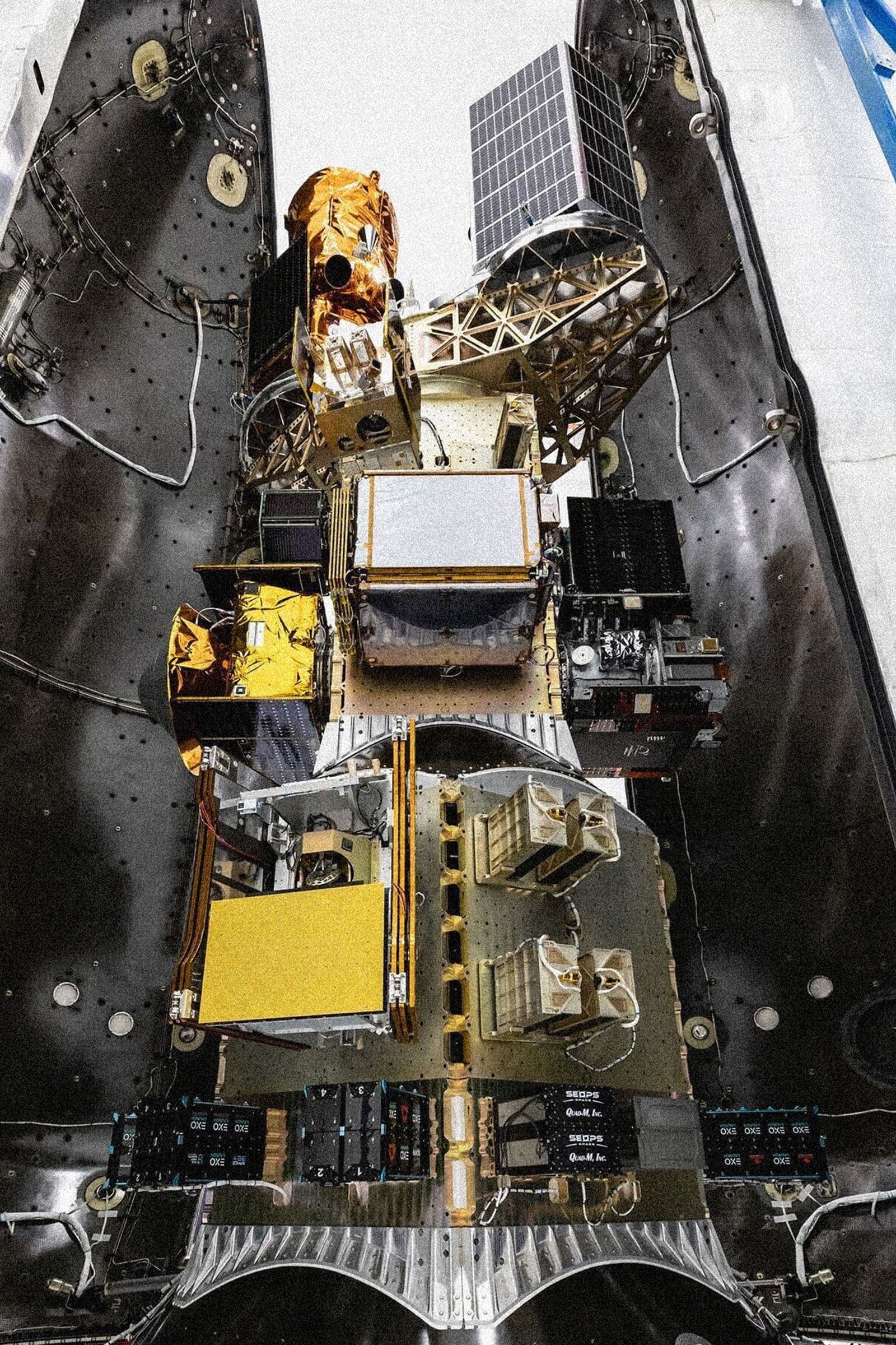
Google is spearheading an ambitious initiative to enhance wildfire detection and monitoring through a partnership with the nonprofit Earth Fire Alliance and satellite manufacturer Muon Space. This collaboration, announced in 2024, aims to deploy a constellation of over 50 satellites specifically designed to identify wildfires from space. The first satellite in this "FireSat" program was launched in March 2025, with the full constellation expected to be operational by 2029.
The FireSat Initiative
The core objective of the FireSat program is to provide near real-time monitoring of wildfires globally. The satellites will capture images of fire-prone regions approximately every 20 minutes. This frequent data collection is crucial for identifying small fires in their nascent stages, allowing for quicker intervention before they escalate into major blazes. The collected imagery will be processed using Google's advanced AI capabilities to analyze the data and identify potential fires more accurately and rapidly than current methods.
Addressing the Limitations of Current Technology
Existing satellite technology often relies on microbolometer sensors for thermal imaging. While effective, these sensors can produce grainier, lower-resolution images with a narrower field of view. This can make it challenging to distinguish actual wildfires from other heat sources, such as hot roofs or reflected sunlight on water. Brian Collins, executive director of the Earth Fire Alliance, emphasizes the need to "learn fast to be able to detect and track fires" and to "transform the way the world and the United States looks at fire."
Google's FireSat satellites will employ a dual-camera system: a standard camera capturing visible and short-wave infrared light, and a cryo-cooled thermal camera for higher-resolution thermal imaging. By cross-referencing data from both camera types and analyzing millions of pixels over time, Google's AI aims to significantly reduce false positives and improve the accuracy of fire detection.
Competitive Landscape and Timelines
Google's FireSat initiative is not the only effort in this domain. Canada's WildfireSat program is also developing fire-specific satellites, though its launch is slated for 2029, the same year Google aims to complete its constellation. Google's strategy, however, focuses on leveraging its AI expertise to accelerate the detection and analysis process.
Test Flights and Future Expansion
The first FireSat satellite is currently in orbit, capturing images and testing the system's capabilities. Google plans to release some of these captured images later in the summer. The program intends to launch three more satellites in early 2026, gradually expanding to the full constellation of 52. At full capacity, the satellites are expected to detect fires as small as ten square meters and provide updates every 20 minutes, providing actionable intelligence for first responders.
Challenges and Considerations
While the technological advancements are promising, experts like Krystal Azelton of the Secure World Foundation highlight the importance of data accessibility. Ensuring that this critical data reaches the hands of end-users, such as firefighting agencies, is paramount. Google has committed to working directly with these agencies to facilitate data access.
Concerns also exist regarding the long-term sustainability and accessibility of data from private ventures. Daniel Swain, a climate scientist, points to the tech industry's history of discontinuing services, raising questions about the continuity of data access from companies like Google. He stresses the need for a "baseline of government, truly and fully public data" to supplement commercial efforts.
Environmental Impact and AI's Energy Consumption
The initiative also brings to light the significant energy consumption of AI technologies. Google's own generative AI efforts have led to a substantial increase in its emissions. The FireSat program can be viewed, in part, as a response to this environmental footprint, an attempt by Google to be regenerative and restorative. Moriba K. Jah, a professor of aerospace engineering, suggests that a more honest conversation about AI's environmental impact is needed.
Conclusion
Google's FireSat program represents a significant technological leap in wildfire detection. By combining advanced satellite imaging with powerful AI analytics, the initiative aims to provide faster, more accurate wildfire alerts. While challenges related to data accessibility and the environmental impact of AI remain, the program holds substantial promise for improving global wildfire management and mitigating the devastating effects of these natural disasters.
Key Takeaways:
- Partnership: Google, Earth Fire Alliance, and Muon Space collaborate on the FireSat initiative.
- Goal: To deploy a constellation of over 50 satellites for real-time wildfire detection.
- Technology: Utilizes dual-camera systems (visible/infrared and thermal) and AI for enhanced accuracy.
- Timeline: First satellite launched in March 2025, full constellation by 2029.
- Impact: Aims to detect small fires early and provide rapid data to first responders.
- Challenges: Data accessibility, long-term data continuity, and AI's energy consumption are key considerations.
This initiative underscores the growing role of AI and space technology in addressing critical environmental challenges.
Original article available at: https://www.wired.com/story/google-earth-fire-alliance-spotting-wildfires-from-space/